


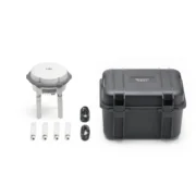
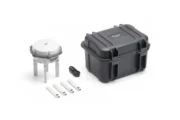
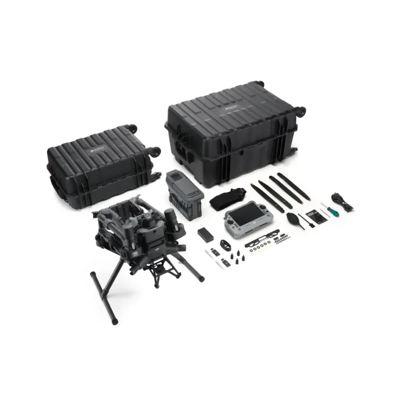
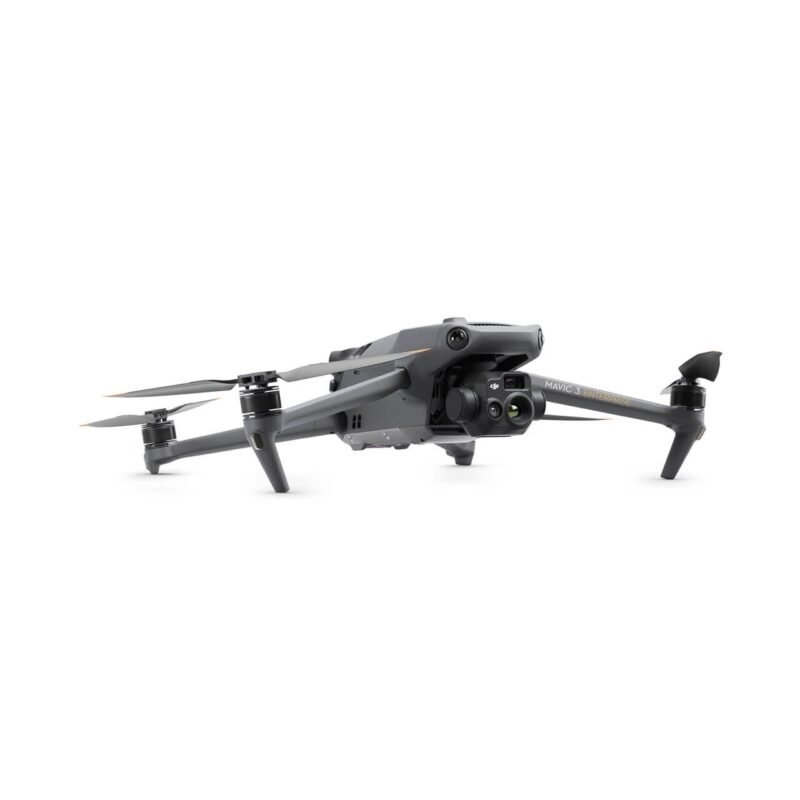
Description
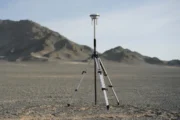
Precision and Durability Redefined

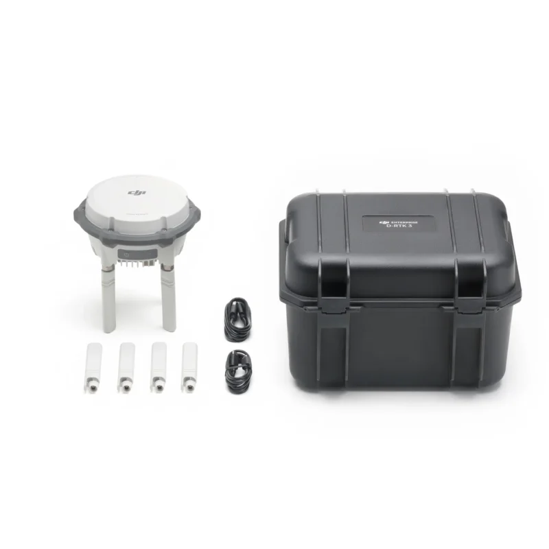
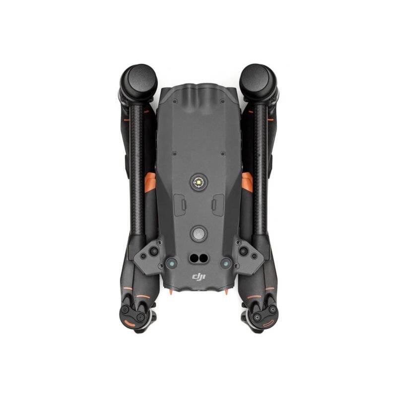
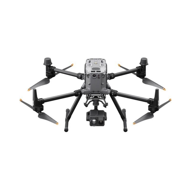
- Compact and Lightweight: Measures Φ 163mm × 89mm and weighs just 1.26kg, making it easy to carry in one hand.
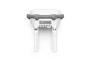
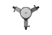
- User-Friendly Controls: Equipped with physical buttons and indicator lights for power, mode switching, and status display.
- Versatile Compatibility: Features a standard 5/8-inch mount for third-party poles and a USB Type-C port for charging and debugging. It is compatible with a range of DJI drones. Please refer to FAQs for full compatibility list.
- Advanced OcuSync 4 Enterprise: Utilises four external antennas for a maximum range of 25 km.
- High-Performance Core: Includes a self-developed RTK chip, air dielectric antenna with physical filtering, and phase-centre accuracy of ≤ 2mm.
- Extended Battery Life: Offers up to 4 hours as a relay, 7 hours as a base, and 10 hours as a rover.
- Rugged Durability: Built to IP67 standards, operates in temperatures from -20°C to 55°C (-4°F to 131°F), and withstands a 2m pole drop.
Versatile Precision for Complex Missions

- Base Station Mode: Supports 5 GNSS systems and 19 frequencies for RTK broadcasting to multiple drones, with dm-level accuracy via PPP* and PPK compatibility. Covers up to 15 km (9.32 mi, FCC).
- Rover Mode: The high-precision IMU enables tilt measurement and GCP collection, seamlessly integrating with the DJI Enterprise App and built-in coordinate systems aligned with DJI Terra.
- Relay Station Mode: This mode boosts video transmission in challenging environments with real-time signal occlusion analysis for optimal communication. (PPP supports BeiDou PPP-B2b; more GNSS systems are coming in updates.)
*Please note that different functions are available for different DJI platforms. See FAQs for feature and compatibility information.

Multiple Ways of Calibration
- Custom Network RTK: Use your own CORS account for location calibration PPP:
- PPP: Free self-developed PPP solution that provides decimetre-level positioning with no network connection. Manual Calibration:
- Manual Calibration: Similar to D-RTK 2 operation, deployed at known points, manually input Base coordinates and pole height
Specifications
| Specification | Value |
|---|---|
| General | |
| Diameter | 163 × 89 mm (without OcuSync Directional Antennas) |
| Weight | 1.26 kg |
| Rating | IP67 (station only) |
| GNSS Frequency | |
| GPS | L1C/A, L2C, L5 |
| BDS | B1I, B2I, B3I, B1C, B2a, B2b |
| Galileo | E1, E5a, E5b, E6 |
| GLONASS | L1, L2 |
| QZSS | L1C/A, L2C, L5 |
| L-Band | Supported |
| Rover Station Mode Accuracy | |
| Static Measurement | Horizontal: 0.8 cm + 1 ppm (RMS) Vertical: 1.5 cm + 1 ppm (RMS) |
| Tilt Measurement | Angle Range: 0° to 60° Horizontal: 8 mm + 0.7 mm/° tilt (accuracy <2 cm within 30°) |
| Max Transmission Distance (in Relay Station Mode, unobstructed, free of interference) | FCC: 15 km between the aircraft and the relay station, 1 km between the relay station and the remote controller SRRC: 12 km between the aircraft and the relay station, 1 km between the relay station and the remote controller CE: 8 km between the aircraft and the relay station, 300 m between the relay station and the remote controller |
Additional information
| Option1 |
Option1 |
|---|
Reviews (0)


Reviews
There are no reviews yet.